
Summit County, Utah
Stop the spread
before it takes the mountain.
Summit CWMA brings agencies, nonprofits, businesses and neighbors to one table to find noxious weeds early, treat them with the right tool, and put healthy native ground back in their place.
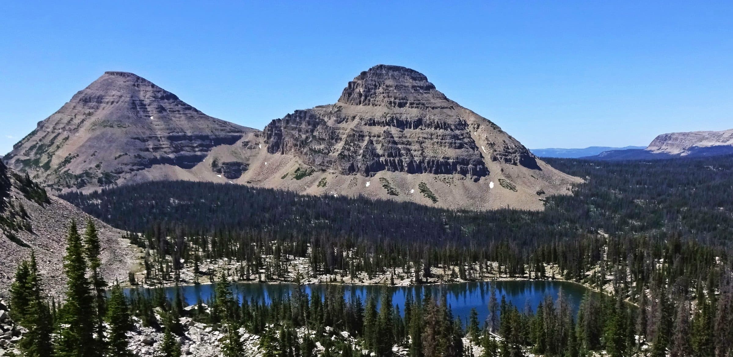
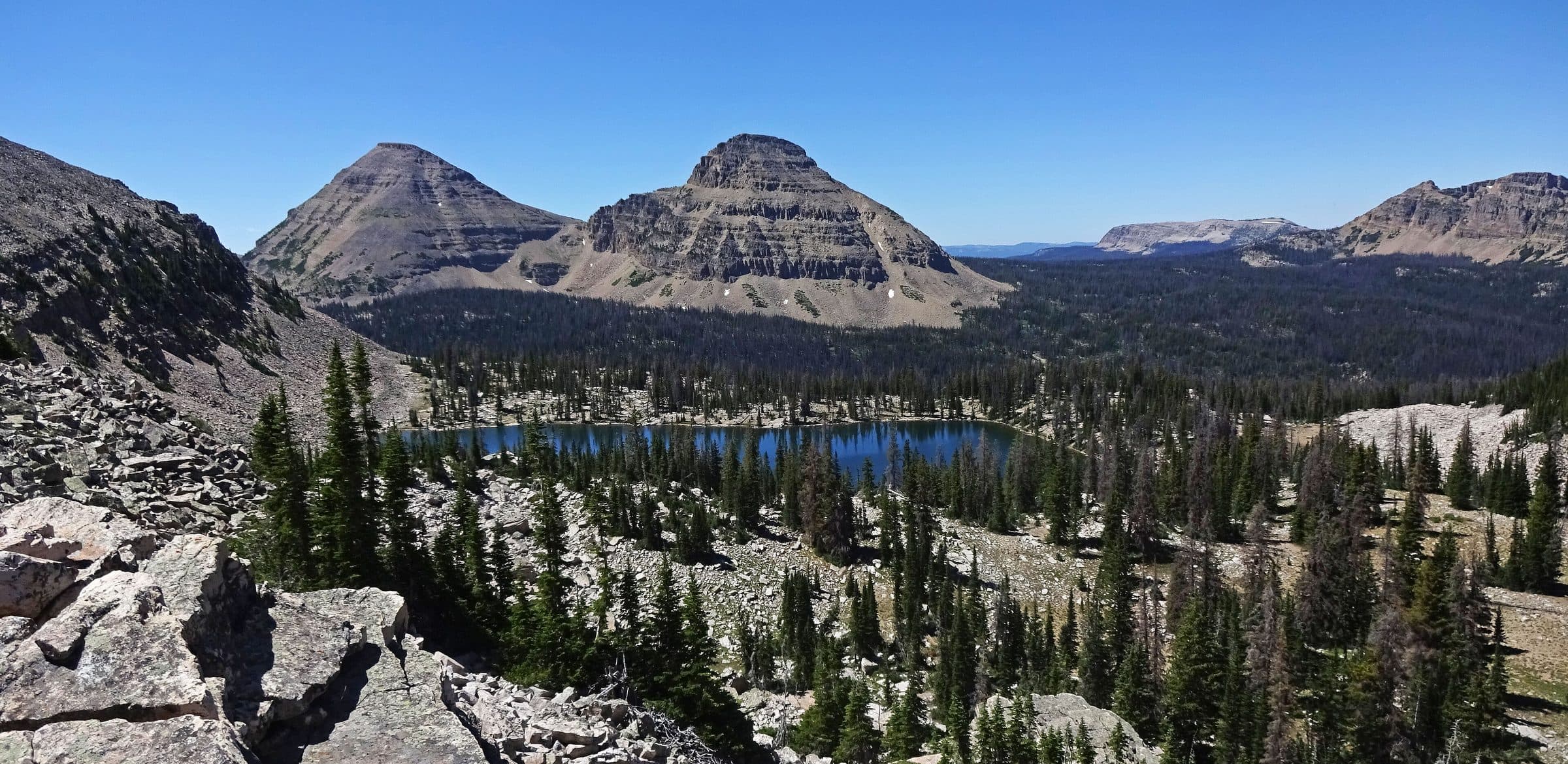
Reids Peak, Uinta Mountains · Photo: Andrey Zharkikh, CC BY 3.0
- project reports since 2012
- 34
- noxious weeds tracked
- 54
- top priority species
- 5
- community programs
- 3
Why it matters
More noxious weeds arrive in Utah every year.
They damage valuable natural lands, reduce wildlife habitat, clog waterways, raise fire risk and take the quality out of a day outside. Every one of them is easier and cheaper to stop early.
Wildlife habitat
Native forage is replaced by plants elk, deer and pollinators cannot use.
Waterways
Dense stands clog ditches, canals and stream banks and change how water moves.
Fire risk
Early-curing invaders carry fire into places that used to resist it.
Recreation
Spiny seed heads, burrs in dog fur and closed trail corridors degrade every outing.
What we do
Three things, done together.
Education and Outreach
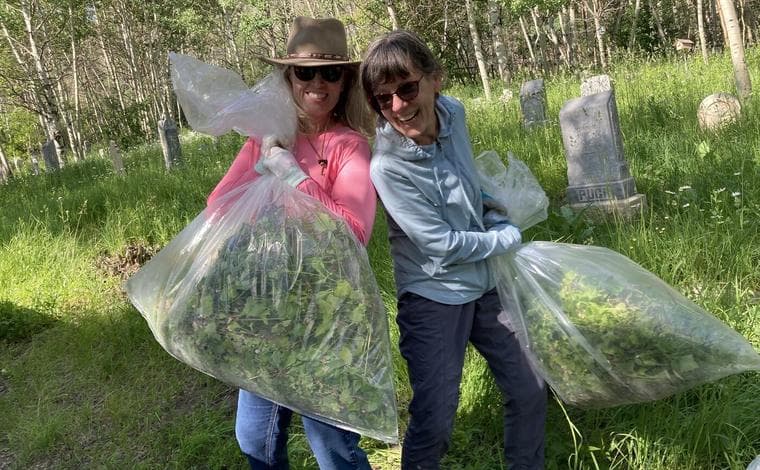
Training, outreach materials and volunteer events that empower residents and landowners to stop the spread.
Read more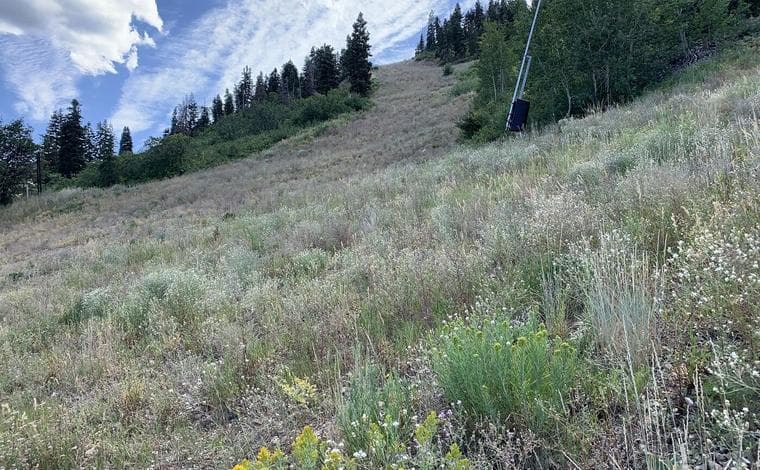
Strategic Weed Control
An integrated approach that matches the most effective method to the weed, the site and the situation.
Read more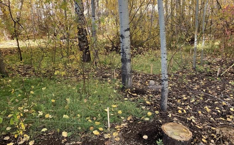
Ecological Restoration
Soil amendments, seeding and planting that rebuild ecosystems able to resist reinvasion.
Read more
Where the resources go
Five species set the season.
These five earn the lion's share of crew time, grant dollars and volunteer hours across the CWMA.
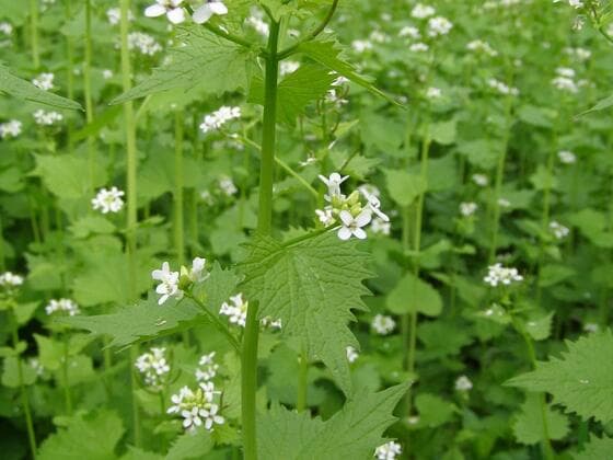 Garlic MustardAlliaria petiolataClass 1BA shade-tolerant biennial that takes over creek bottoms and aspen understory where almost nothing else invades. It releases compounds that disrupt the soil fungi native seedlings depend on, so a stand does damage that outlasts the plants themselves.Treat Apr - Jun
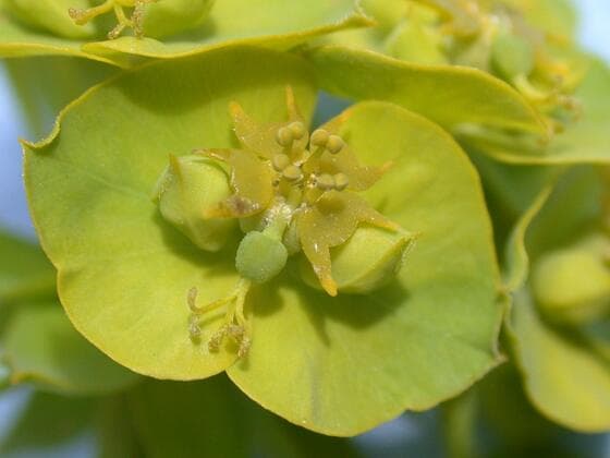 Leafy SpurgeEuphorbia esulaClass 2Milky sap that irritates skin and blisters mouths, so livestock and wildlife leave it alone and it displaces the forage around it. Roots run deep enough that mechanical control rarely finishes the job.Treat May - Jul
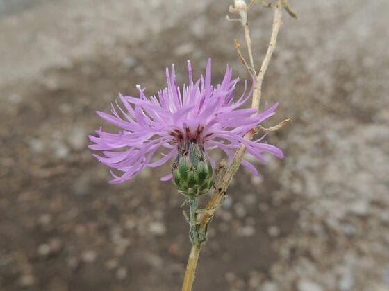 Spotted KnapweedCentaurea stoebeClass 2Releases root chemicals that suppress the natives around it, then holds the ground it has taken. Seed travels on tires, boots and hooves, which is why it turns up first along roads and trailheads.Treat Jun - Aug
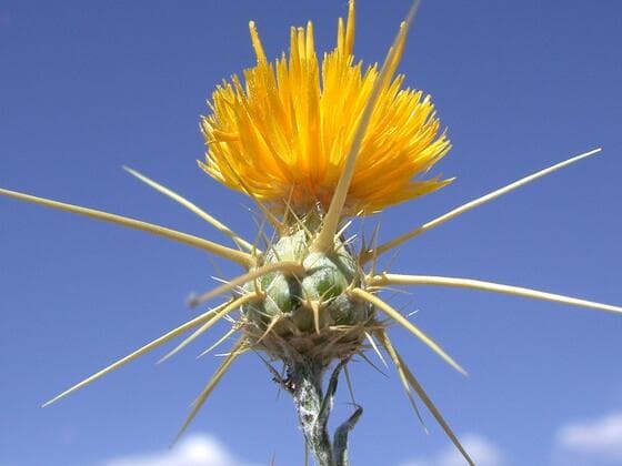 Yellow StarthistleCentaurea solstitialisClass 2Spiny seed heads that make infested ground unusable, and it is toxic to horses. Moves fast on disturbed soil and can dominate a hillside within a few seasons.Treat Jun - Aug
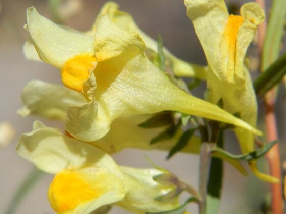 Yellow ToadflaxLinaria vulgarisClass 2Deep creeping roots that resprout from fragments, so pulling a patch usually multiplies it. Attractive enough that people still plant it, which is how most of our infestations started.Treat Jul - Sep
See where we map
Every acre we treat is on the map.
Crews, contractors and volunteers log every infestation they find or treat to EDDMapS. The Summit County slice is here to explore: filter it by species or year, and check your own neighborhood before you call.
- 9,410
- infestation records
- 31
- species mapped
- 2013–2026
- years of mapping
 InteractiveOpen the Summit County map
Community programs
Come pull weeds with us.
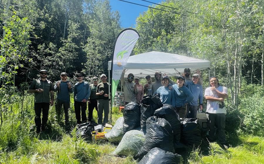
Garlic Mustard Games
A county-wide garlic mustard pull competition. Attend a community pull event, hit a trailside pull station or clear your own property. Staff weigh your haul at events; remote pullers weigh their own and send a photo. Winners are ranked on pounds per teammate and crowned at a food truck celebration.
Live leaderboard14,637 lbs so far
1Park City5,108 lbs2Summit CWMA Crew3,180 lbs3Petrosky Family1,163 lbsOpen the Games dashboard →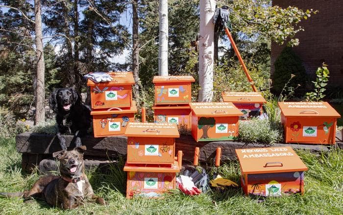 All seasonAmbassador ProgramBecome a noxious weed steward. Pull or cut along trails and open space, bag the plants and seedheads, leave the bag by the program sign and log your effort online.Prize drawings every two weeks
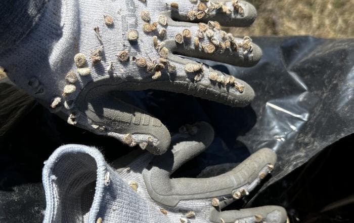 June - AugustHounds Against HoundstongueHoundstongue burrs leave the canyon in fur and tails. These trailhead pull days pair weed removal with a grooming-and-education stop for dog owners, so the dog that carried the seed in helps take it out.Trailhead pull days
Get involved
Be part of the solution.
You do not need a license, a truck or a background in botany. You need to know what you are looking at.
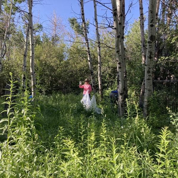 Start with the field guide
- 01
Learn to spot them
Field guides, fact sheets and a searchable list of every weed on the Utah list.
- 02
Volunteer a morning
Community pull events run all season and take about three hours.
- 03
Control what you own
Treatment windows, method guidance and a vetted contractor list.
- 04
Plant natives back
Seed mixes, soil amendments and planting advice for treated ground.
- 05
Report what you find
A photo and a pin is enough. Early detection is the cheapest control there is.
Partners and funders
- Utah Department of Agriculture and Food
- Utah Weed Supervisors Association
- Park City Community Foundation Climate Fund
- Bipartisan Infrastructure Law
- Summit County Weed Division
- Basin Recreation
- Park City Municipal
- Swaner Preserve & EcoCenter
- Mountain Trails Foundation
- Utah State University Extension